From US 40/3rd St in Steamboat, south about 4 miles to SH 131, then south to CR 17 in Yampa.
From 3rd St to CR 17
30 miles 40 mins
GPS
CR 17 in Yampa
40.1577 -106.9086
From I-70/C470 via US 40 — 144 miles 2 hr 50 mins
In General:Seasonal Closure
Length: 83 miles
Driving Time: min. 2 hrs 30 mins
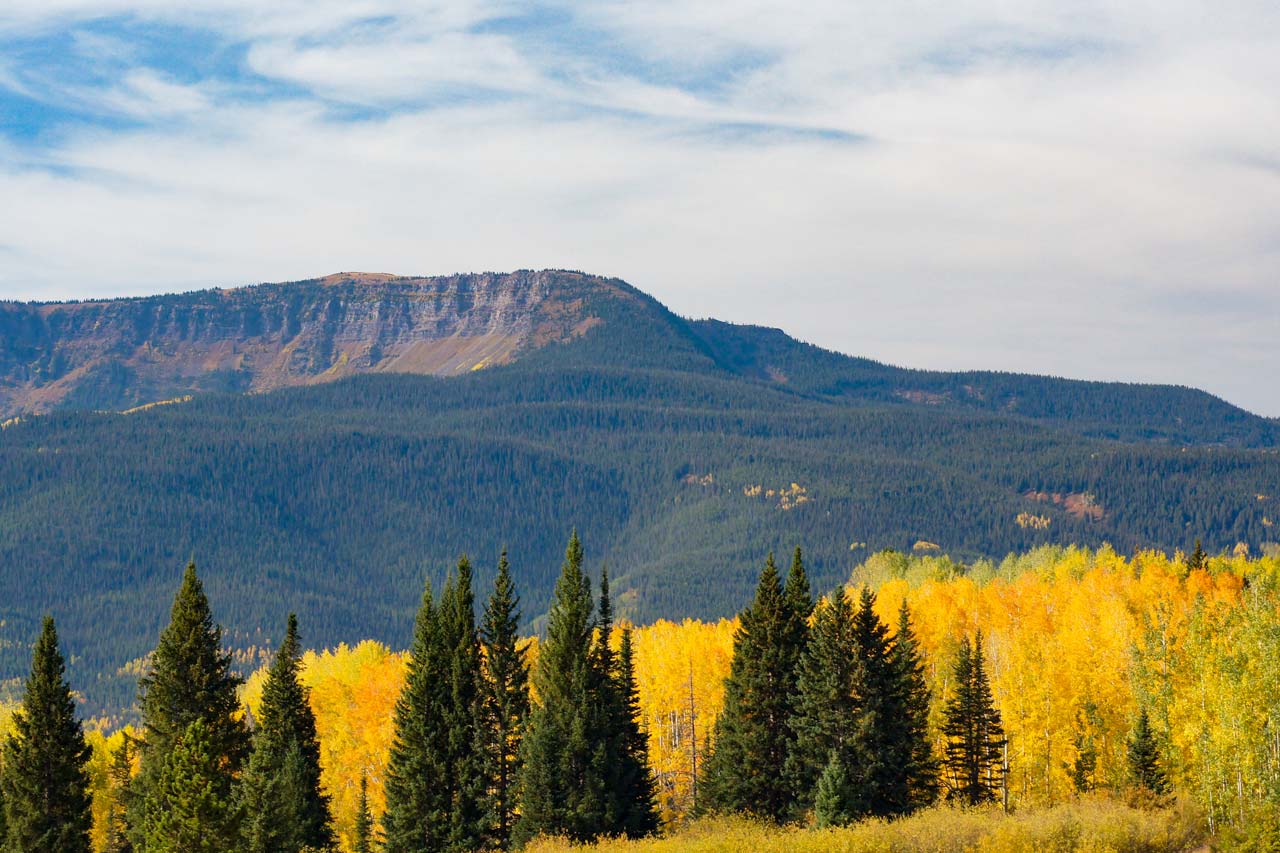
The eastern half of the byway is a well maintained, gravel road and, in good conditions, is passable by most 2wd passenger vehicles. The western half, into Meeker, is paved. Open to snowmobiles in winter.
From CR17/Main St in Yampa, head south on Main (CR7) 7 miles to FR900, then anther 10 miles to the Stillwater Trailhead.
From CR17 to TH
17 miles 1 hr 10 mins
GPS
TH Parking
40.0276 -107.1233
In General:
Length: 5.6 miles RT
Elev gain: 1600 ft
Rating: Moderate/Difficult
Hiking Time: min. 3 hrs
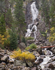
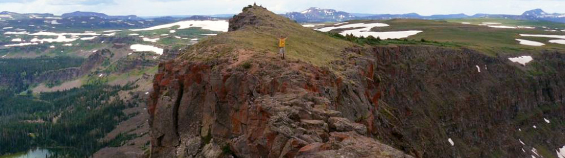
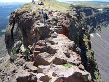
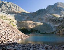
The Devil’s Causeway follows a narrow strip of land that connects two major sections of the Flat Tops. Both sides of the trail are 60′-80′ cliffs with steep talus slopes dropping another 600′-800′ into the drainage below. The rough, 3′ wide crest is a spot any hiker or climber will never forget.
The trail parallels the north side of Stillwater Reservoir for 0.8 miles, reaching a registration/information board at the junction with trail #1120. Head right (N) at the junction and pass Little Causeway Lake at mile 1.6; good camping and fishing at the Lake. From here the trail climbs along and through talus slopes to a watershed divide at mile 2.3. A side trail on the left makes a steep ascent to the Devil’s Causeway, mile 2.8.
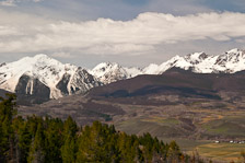
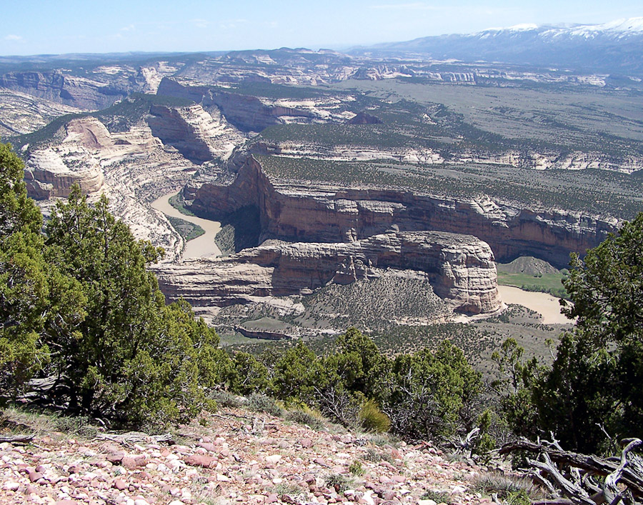
Steamboat Rock from Harpers Corner Trail courtesy NPS
How to get there:
The Visitor’s Center is located at the intersection of US 40/Harpers Corner Drive.
From Steamboat to V.C.
127 miles 2 hr 20 mins
From Meeker to V.C.
78 miles 1 hr 30 mins
GPS
Visitors Center
40.2448 -108.9735
In General:Seasonal Closure
A scenic, paved 32-mile road leads to the heart of Dinosaur National Monument’s canyon country. Several picnic areas and the trailheads of three hiking trails are located just off Harpers Corner Drive.
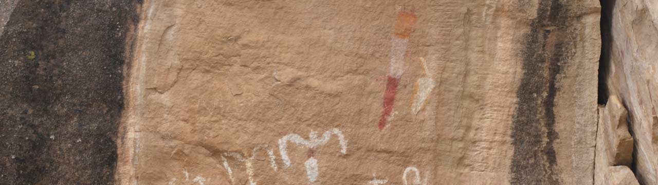
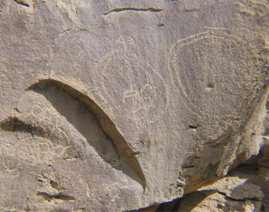
The Freemont Indians lived here from ~200 BC to ~1200 AD.
How to get there:
The tour begins in the town of Rangely. Pick up a brochure and map in town to help with navigation.
From Steamboat Springs
135 miles 2 hrs 35 mins
From Meeker
58 miles min. 1 hour
GPS
SH64/White Ave
40.0875 -108.8039
In General:
Length: 69 miles
Driving Time: min. 2 hrs 30 mins
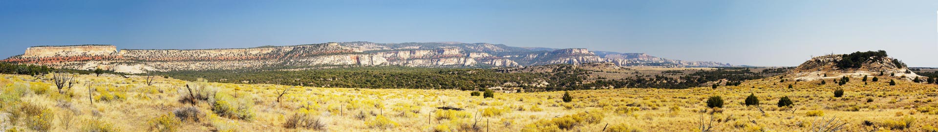
There are three sections to the tour; SH 64, SH 139, and Rangely Dragon Road (and other county roads used to connect with SH 139). Rangely Dragon Road and the other county roads are maintained, gravel-surfaced and passable, in dry conditions, by 2wd passenger vehicles. High clearance is recommended.
The Byway begins at the intersection of SH 14/US 287 NW of Ft Collins and follows SH14 to Walden.
From I-25/I-70 to US 287/SH 14
70 miles 1 hr 20 mins
GPS
US 287/SH 14
40.6637
-105.1883
In General:
Length: 97 miles
Driving Time: min. 2 hours
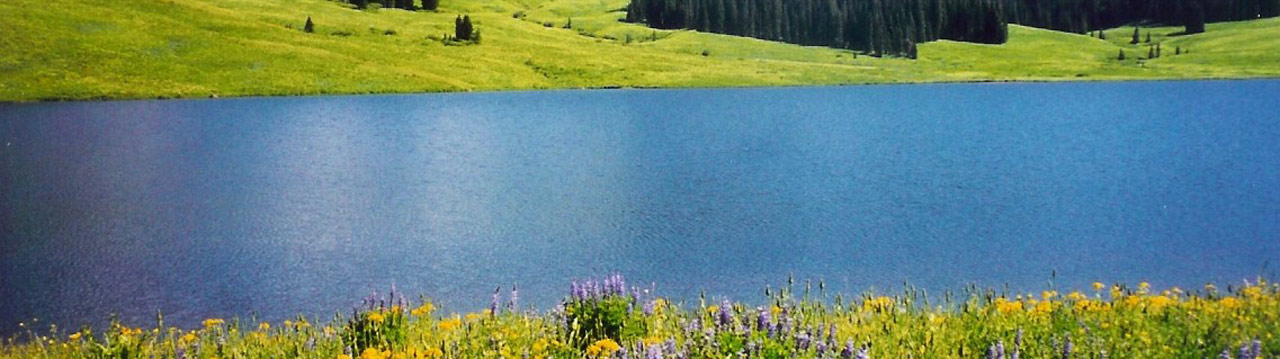
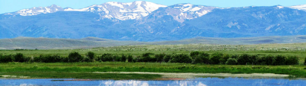
The entire length of the Cache la Poudre Scenic Byway is paved. It follows along the Cache la Poudre River for about 50 miles and in this stretch you’ll find 11 Forest Service CG’s. It then climbs up to Cameron Pass (10249 ft) and drops into North Park, prime moose viewing country.
The northwest entrance to the park is located at the intersection of SH14/CR41, about 3 miles west of the Moose Visitor’s Center.
From Denver via I-25—SH14
139 miles 2 hr 30 mins
GPS
NW Entrance
40.5529 -106.0383
In General:
The park has 219 campsites, a corral at the Bockman CG, 6 cabins, 7 yurts, 9 picnic sites, 80 miles of motorized roads and trails, 70 miles of groomed snowmobile trails, 50 miles of signed snowshoe and skiing trails, and the largest moose herd in Colorado.
The refuge entrance is 9 miles south of Walden on SH125.
From Denver via I-70-US 40
121 miles 2 hr 30 mins
GPS
SH 125/CR 32
40.6204 -106.2960
In General:
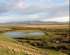
The Refuge was established to provide suitable nesting and rearing habitat for migratory birds. Meandering streams, streamside willows, and meadow habitats found at Arapaho National Wildlife Refuge create excellent wildlife habitat.