Overview


Bordered on the north by US 24, on the east by I-25 and on the south by US 50. The northwest boundary is an arbitrary line.
- Access from US 285 to the junction with US 24 enters the region near its midpoint and continues to US 50 at Poncha Springs.
- I-25 to US 50 in Pueblo and west to Montrose provides access to the entire region. Not an official scenic byway, but it is worthy of consideration.

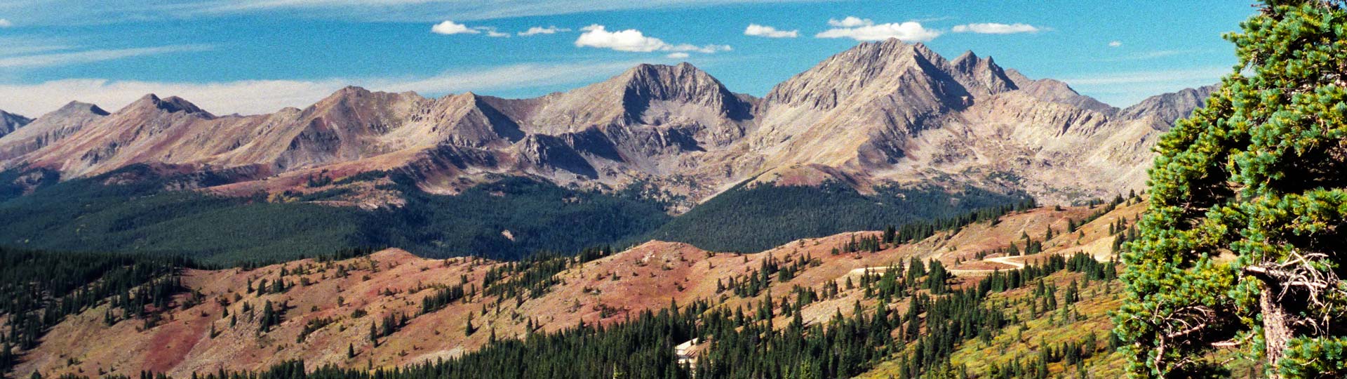
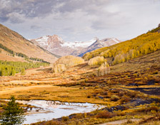
Taylor Park Region
- Outstanding scenery in the entire area.
 Italian Creek Rd – Texas Creek
 Cottonwood Pass – Cumberland Pass
 Spring Creek
 Taylor Canyon-Gold Medal trout waters
 Hundred’s of beautiful dispersed camping spots.
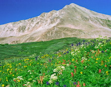
Crested Butte Region
- Billed as “The Wildflower Capital of Colorado”, Crested Butte doesn’t disappoint. Try Cement Creek or the Lake Irwin area.
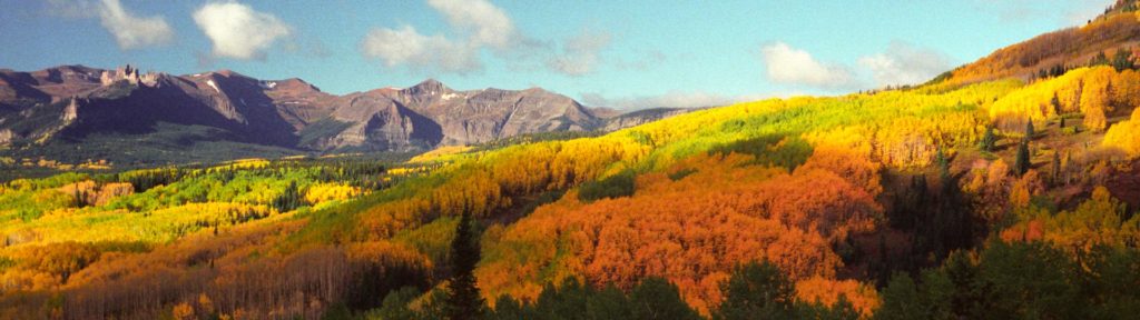
 Kebler Pass – Ohio Pass
- Scenery on the Slate River/Washington Gulch loop is spectacular.
Cañon City

Highlights:
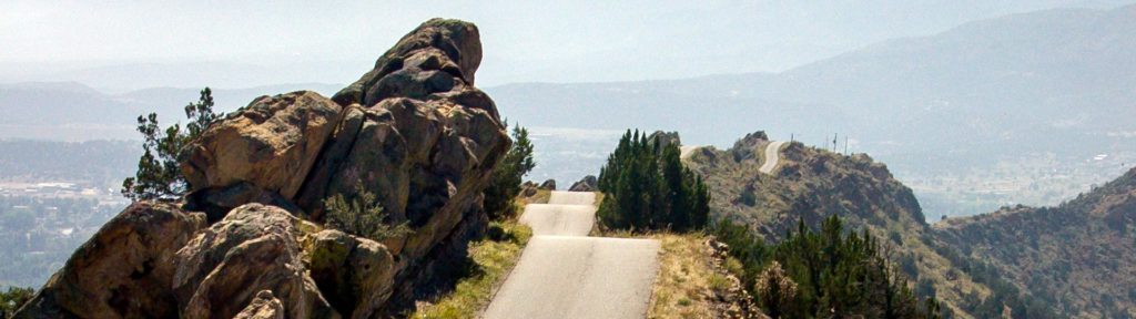
- Skyline Dr is unique; a must see.
 Shelf Road – High Park
 in Victor on the Phantom Canyon Rd.
- Especially around Cripple Creek.