Highlights:
 Guanella Pass | Kenosha Pass | Weston Pass
 Boreas Pass
 Georgia Pass
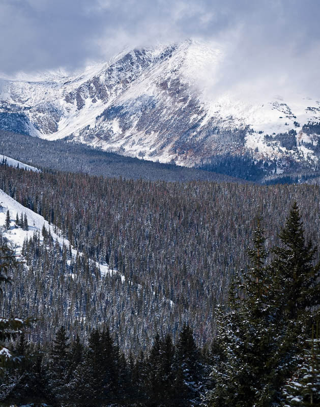
 All of these passes have terrific vistas!
Guanella Pass | Grant
A Scenic and National Forest Byway 

How to get there:
US-285 south to the small town of Grant.
- From C470/US 285 to CR 62
- 39 miles 50 mins
- GPS
- Guanella Pass Rd
- 39.4598 -105.6632

In General: 

 Seasonal Closure
- Length: 22 miles
- Driving Time: min. 1 hour
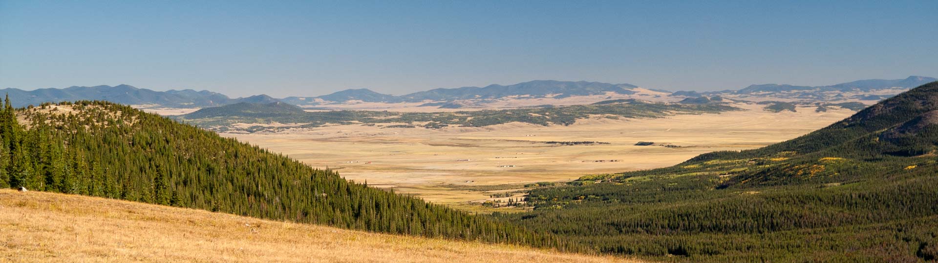
This route travels over Guanella Pass (11,700 ft) and ends at I-70 in Georgetown and is suitable for 2wd vehicles. Much of it is paved. There is a short and easy hike at the overlook that goes to the pass itself.
Kenosha Pass
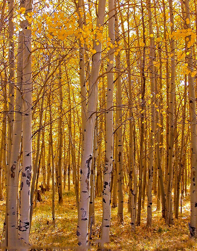
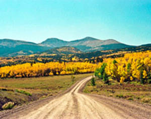
Well known for fall color.
How to get there:
The pass is on US 285 southwest of Denver.
- From C470/US 285 to the rest area
- 47 miles 1 hr
- GPS
- Parking Area
- 39.4039 -105.7548
In General:
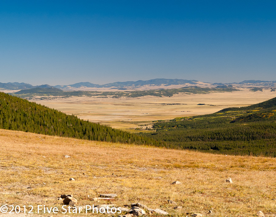
Scenic/Rest Area on US285. Kenosha CG nearby.
Photo Ops:
Aspen covered hillsides and great vistas overlooking South Park. There are trails and some roads in the area to explore.
Georgia Pass
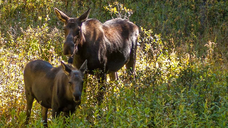
Moose may be found on the eastern slope.
How to get there:
US-285 south to the small town of Jefferson.
- From C470/US285 to Jefferson
- 51 miles 1 hr 5 mins
- GPS
- Parking Area
- 39.3106 -105.8865

In General:
- Length: 12 miles
- Driving Time: min. 45 mins
Boreas Pass
From Como to Breckenridge
How to get there:
US-285 south to the small town of Como. Ends in Breckenridge.
- From C470/US285 to Como
- 57 miles 1 hr 10 mins
- GPS
- US285/CR33
- 39.3104 -105.8864
In General:
- Length: 21 miles
- Driving Time: min. 1 hour 15 mins
Follows the former Denver, South Park, and Pacific Railroad route from Como to Breckenridge. In good conditions, a passenger car can travel this road without any issues.
This scenic and mellow road connects Como and Breckenridge, effectively connecting SH 285 and I-70. The trail climbs to the Continental Divide and the remnants of the collection of buildings at Boreas Pass. This is also where you cross from Summit County into Park County.
Weston Pass
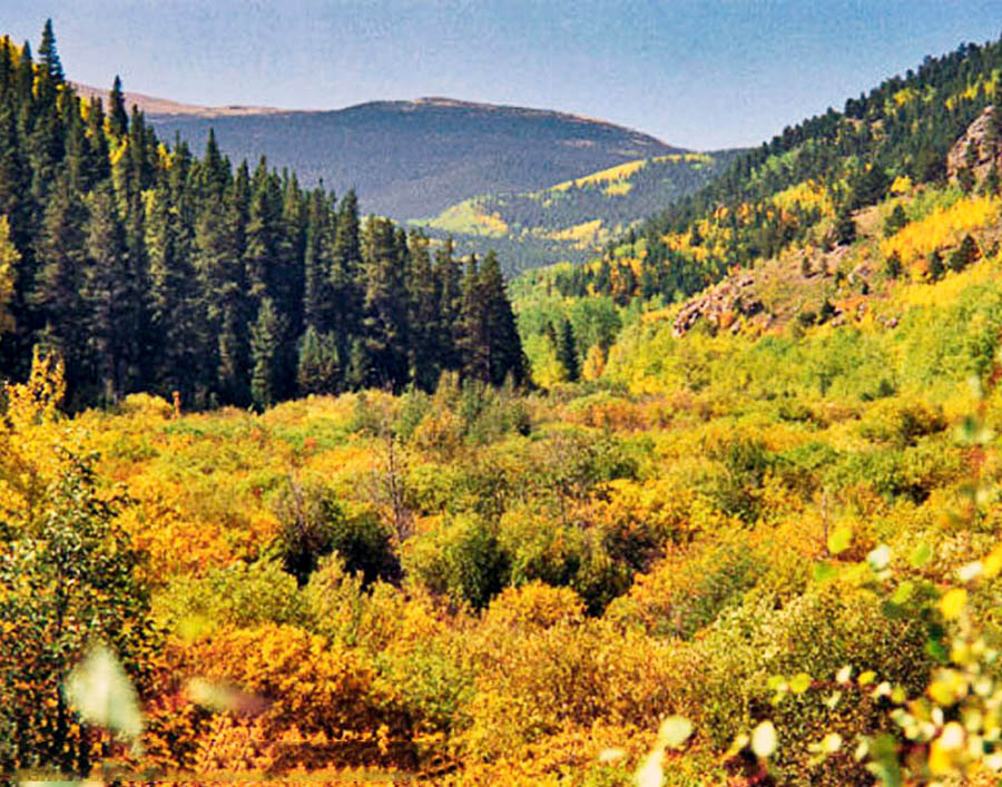
Nice vistas and good fall foliage.
How to get there:
US 285 south to CR 5, 4.7 miles south of SH 9 in Fairplay.
- From C470/US 285 to CR 5
- 71 miles 1 hr 30 mins
- GPS
- US285/CR5
- 39.1537 -105.9992
In General:
- Length: 27 miles
- Driving Time: min. 1 hour 30 mins
The road to Weston Pass (11,921 ft) in good conditions, is generally passable to 2wd vehicles, although there are a few rocks which make high clearance desirable.