Highlights:
 Shrine Pass
 Mohawk Lake | Shrine Pass | Mayflower Gulch | Ute Pass
 Mohawk Lake
 Especially photogenic Mohawk Lake | Ute Pass | Shrine Pass | Mayflower Gulch
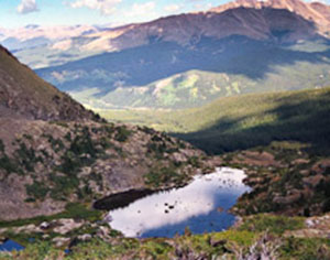
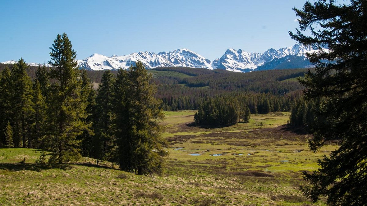
Mohawk Lakes
One of the most beautiful lakes in Colorado.

How to get there:
I-70 west to exit 203. South on SH-9 to the last stoplight in Breckenridge then 1.5 miles south and turn right onto Crown Dr. Proceed for about 1.6 miles to a well marked parking area and trailhead.
- From I-70/C470 to the TH
- 70 miles 1 hr 25 mins
- GPS
- TH Parking
- 39.4371 -106.0507

In General:


- Length: 7 miles RT
- Elev gain: 1,700 ft
- Rating: Moderate
- Hiking Time: min. 3 hours
This TH parking area is considered the end of 2wd vehicle access. With high clearance and 4wd, there are several other parking areas further down the road. It is possible to cut off 4 miles of trail length from the round trip.
Mayflower Gulch
Top of the Rockies Scenic Byway 


How to get there:
I-70 west to exit 195. South on SH 91 5.8 miles past the Copper Mountain Ski Area entrance to a small parking area on the east side of the highway.
- From I-70/C470 to exit 195
- 70 miles 1 hr 25 mins
- GPS
- Parking Area
- 39.4307 -106.1661
- GPS
- Cabins
- 39.4140 -106.1481
In General:
- Length: 7 miles
- Driving Time: min. 30 mins
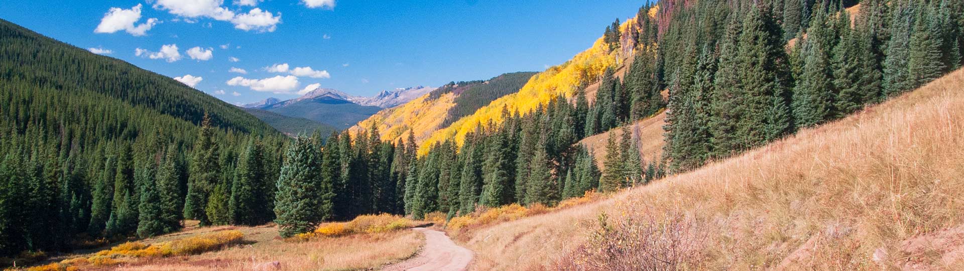
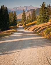
Shrine Pass
Great views of the Mount of the Holy Cross.
How to get there:
I-70 west to exit 190 – Vail Pass Rest Area.
Cross the highway and instead of following the pavement to the Rest Area, continue on the dirt road straight ahead.
- From I-70/C470 to CR 16
- 69 miles 1 hr 20 mins
- GPS CR 16 – Shrine Pass Rd
- 39.5296 -106.2179
In General: Seasonal Closure
- Length: 12 miles
- Driving Time: min. 40 mins
In good conditions, this wide dirt road is suitable for any passenger vehicle.
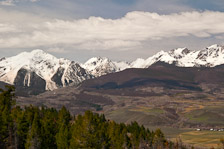
Piney Lake
Beautiful views of the Gore Range!
How to get there:
Located 12 miles north of Vail.
- From I-70/C470 to Exit 176
- 84 miles 1 hr 20 mins
- GPS
- I-70/Exit 176
- 39.6435 -106.3739
In General:


- Length: 12 miles
- Driving Time: min. 45 mins
Dirt road in fair condition; most two-wheel drive vehicles should be able to handle the drive just fine. Piney River Ranch sits near the lake and offers recreation activities like canoeing, stand-up paddle boarding, hiking, horseback riding, and more.