
Highlights:
 Skiing or sledding on the Dunes. Morning and evening shadows.
 Ranger guided tours of the cliff dwellings.
 Sheer cliffs of the spectacular Black Canyon.
 Waterfalls, access to the Alpine Loop and fantastic scenery along the Silver Thread Scenic Byway.
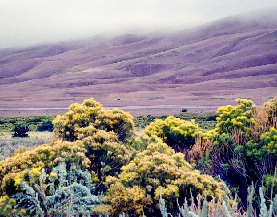
Great Sand Dunes National Park
The “High Dune” is about 650 feet high. 
How to get there:
From Denver, take the scenic route; US285 south, then SH17 south, then CR6 east from Mosca.
- From US285/C470 to V. C.
- 208 miles 4 hr 30 mins
- GPS
- Visitor Center
- 37.7323 -105.5116

In General:


Entrance fees are $25 7-day pass.
Plan to hike on the dunes in morning or evening to avoid afternoon storms, and to avoid the hot mid-day sand surface.
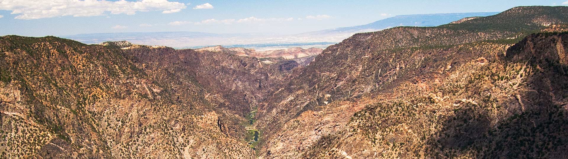
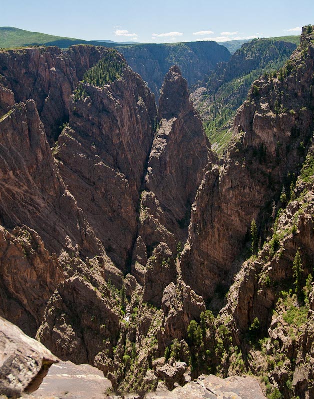
Black Canyon of the Gunnison
South rim of the canyon.
- From US285/C470 to Rim Drive Rd
- 244 miles 5 hours
- GPS
- SH 347/Rim Drive Rd
- 38.5405 -107.7010
In General:
Entrance fee is $20 per vehicle
The Black Canyon is so named on account of its steepness. As a result, the canyon walls are most often in shadow, causing the rocky walls to appear black. At its narrowest point the canyon is only 40 ft across at the river and 1100 ft at the rim. The Painted Wall is the highest cliff in Colorado. From river to rim it stands at 2250 feet.
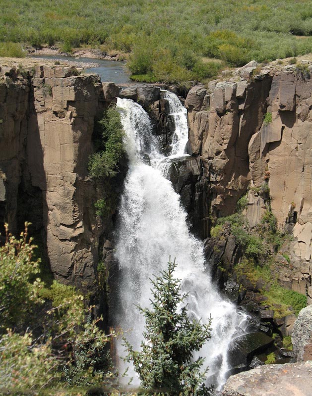
Silver Thread Scenic Byway
Slumgullion Pass and waterfalls. 
How to get there:
Start at the Blue Mesa Reservoir and US 50 junction. Follow SH 149 south for 117 miles to South Fork.
- From US285/C470 to SH149
- 191 miles 4 hours
- GPS
- US 50/US 149
- 38.4895 -107.0589
In General:
- Length: 117 miles
- Driving Time: min. 3 hours
This route heads south from US 50 and follows along the Lake Fork of the Gunnison River into Lake City. It then climbs up and over Spring Creek Pass and shadows the upper reaches of the Rio Grande to its end at the junction with US160 in South Fork.