
SH 62 from Placerville to US 550 to Durango
Ouray, surrounded on three sides with 13,000 ft peaks, is known for its large natural hot springs, picturesque Victorian architecture and the Ice Park.
Highlights:

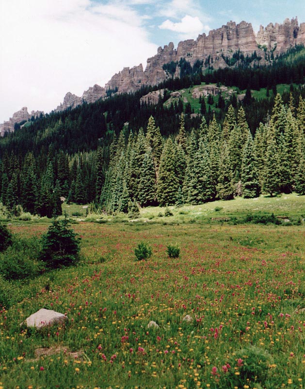
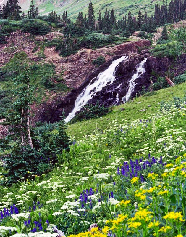
 Spectacular wildflower displays and scenery in Yankee Boy Basin
- Exceptional views along the Million Dollar Hwy, Ophir Pass Rd, Dallas Divide
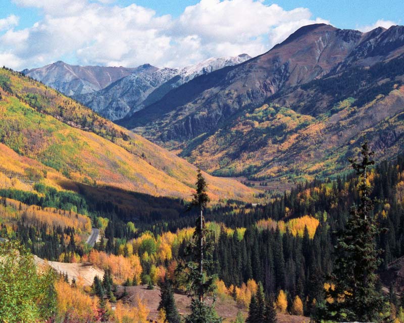
 Fall foliage along Owl Creek Pass Rd, US-550
Owl Creek Pass
Connects with US 50.
How to get there:
From US550/6th St in Ouray, drive north 12 miles to CR10 and turn east. (1.8 miles past SH62 in Ridgway)
- From Ouray to CR10
- 12 miles 15 mins
- GPS
- US-550/CR 10
- 38.1740 -107.7421

In General: 


 Seasonal Closure
- Length: 41 miles
- Driving Time: min. 2 hrs 20 mins
In good conditions, this easy dirt and gravel road can be driven by most passenger vehicles. It will take you up and through the Uncompahgre NF, crest Owl Creek Pass at 10,114 ft, pass Silver Jack Reservoir, and end at US-50 2.5 miles east of Cimarron.
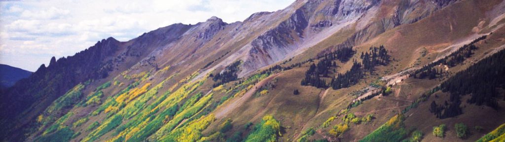
Dallas Divide
Beautiful in every season. 


How to get there:
Drive north from Ouray to Ridgway then west on SH 62 about 10 miles. The highway has been reconfigured; the parking area is now east of the GPS location below.
- From Ouray
- 21 miles 30 mins
- GPS
- Photo Op
- 38.0956 -107.8793
In General:
Overlook of Mt Sneffels and its range.
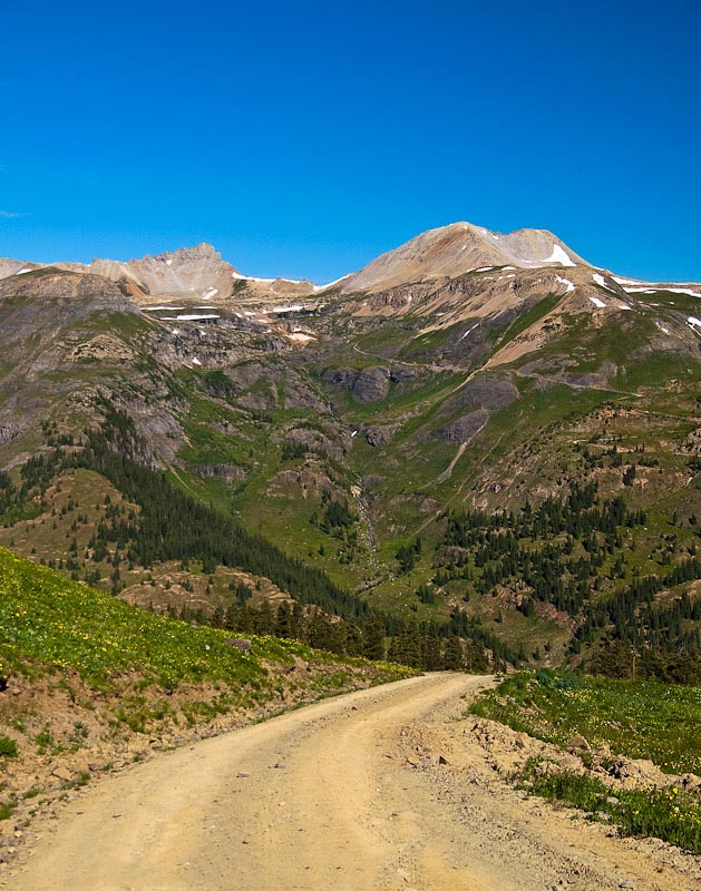
Yankee Boy Basin
Access to the Imogene Pass Road.
How to get there:
Head south out of Ouray. Near the end of the first switchback, turn right towards Camp Bird Mine and the falls. Drive past the falls entrance and follow the road towards the mine.
- From US-550/6th St to the turn
- 0.6 miles 1 min
- GPS
- Camp Bird Mine Rd
- 38.0177 -107.6745
In General:
- Length: 9.6 miles
- Driving Time: min. 45 mins
The road to Camp Bird Mine is well maintained gravel. Here, the route becomes CR 26 and begins to take on the character of a 4wd road as it climbs up into the canyon, becoming progressively steeper and rougher. The upper reaches may challenge vehicles without lo range gearing.
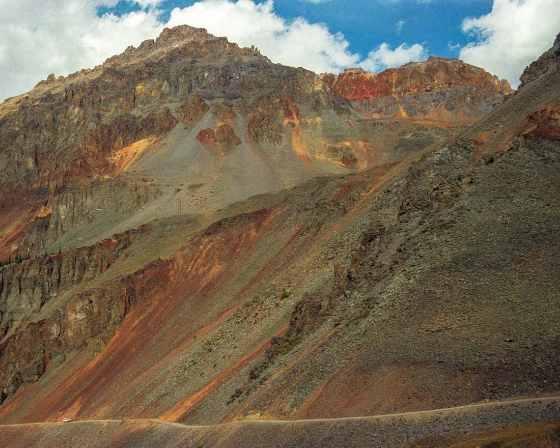
Brooklyn Road
Overlooks the Million Dollar Highway!
How to get there:
Starts at the top of Red Mountain Pass turning east off of US-550 just beyond the Red Mountain Pass sign.
- From Ouray to CR14
- 13 miles 20 mins
- GPS
- Parking Area
- 37.8959 -107.7138
In General:
- Length: 6 miles
- Driving Time: min. 40 mins
This easy route (CAUTION: If there has been heavy rain it can be pretty mucky!) leads you past the St. Paul Lodge for back-country skiers and along a winding ledge on the west side of the mountain range. You will pass areas with mining remnants, the largest of which is the site of the Brooklyn Mine.
Ophir Pass
Lookout Peak towers 3,000 feet above the road.
How to get there:
From 6th St in Ouray, drive south 18 miles to CR8 to the west.
- From Ouray to CR8
- 18 miles 30 mins
- GPS
- US-550/CR 8
- 37.8476 -107.7248
In General:
The route starts out as a wide, easy gravel road and winds through forested land in the Middle Mineral Creek area until it reaches tree line and continues to the rocky summit at 11,789 ft. The road descending into the valley is a long shelf road, narrow and very rocky in spots. It then enters a forested area before reaching the small town of Ophir and continuing on as a wide, easy gravel road to the intersection with US 145, the San Juan Skyway.
US 550
Ouray to Durango

How to get there:
Starts at 6th St in Ouray and heads south to Durango.
- From Denver to Ouray
- 283 miles 5 hr 40 mins
- GPS
- US-550/6th St
- 38.0230 -107.6714
In General:


- Length: 71 miles
- Driving Time: min. 1 hr 30 mins
The Million Dollar Highway is the portion of the Skyway from Ouray over Red Mountain Pass to Silverton. The Skyway continues over Molas Pass then Coal Bank Pass and this section ends at US 160 in Durango. See the Telluride > SH 145 section to complete the loop.