Highlights:

 Guanella Pass Scenic Byway
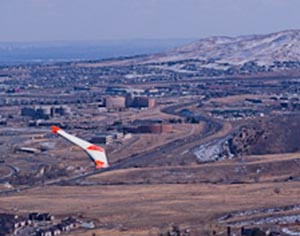
 Combat wings and hang gliders on the Lariat Loop
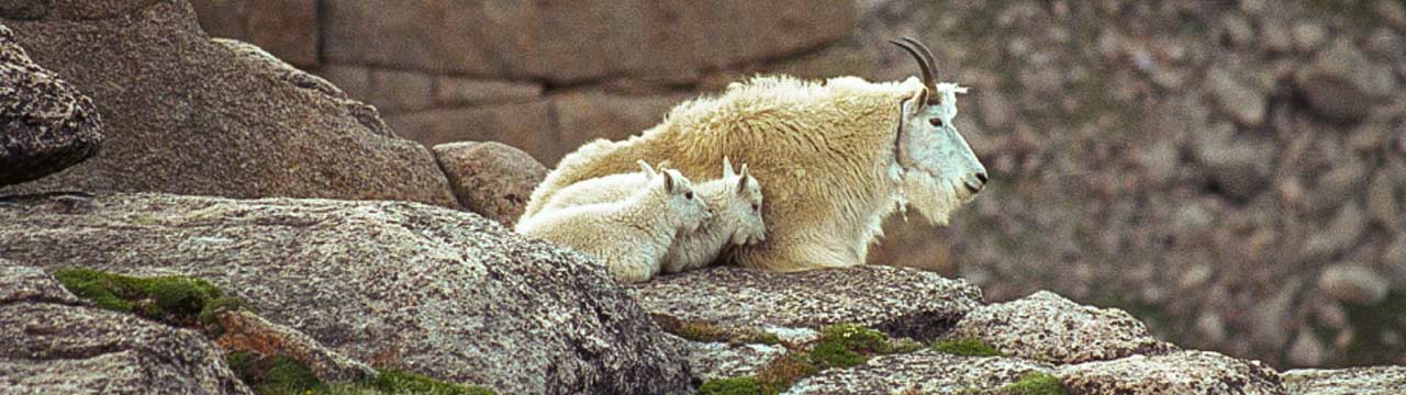
 Wildlife and bristlecone pines on Mt Evans
 Summer skiers on St Marys Glacier
 Guanella Pass
 Moon over A-Basin from east side of Loveland Pass
Lariat Loop
A Scenic & Historic Byway
How to get there:
The route begins at the intersection of US-6 and 19th St in Golden, the Lookout Mountain road.
- GPS
- US-6 and 19th St
- 39.7456 -105.2236

In General:

- Length: 36 miles
- Driving Time: min. 1 hour
One of the first historic byways in the country, the loop runs through the historic towns of Morrison, Evergreen, and Golden and provides access to foothills photo ops.

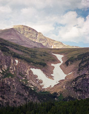
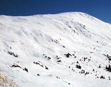
St Marys Glacier
Summer skiing is a popular activity.
How to get there:
I-70 west to exit 238 – Fall River Rd. North on Fall River Rd to the parking area.
- From I-70/C470 to St Marys
- 35 miles 1 hr 5 mins
- GPS
- Parking Area
- 39.8257 -106.0507
In General:
Vehicle parking $7 per day.
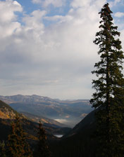
Guanella Pass
A Scenic and National Forest Byway
How to get there:
- From I-70/C470 to exit 228 – Georgetown
- 32 miles 35 mins
- GPS
- exit 228
- 39.7154
- -105.6971
In General: Seasonal Closure
- Length: 25 miles
- Driving Time: min. 1 hour
This route travels over Guanella Pass (11,700 ft) and ends at US-285 in Grant and is suitable for 2wd vehicles. Recently paved. There is a short and easy hike at the overlook that goes to the pass itself.
Loveland Pass
On top of the continental divide.
How to get there:
I-70 west to exit 216 – Loveland Pass/US-6
- From I-70/C470 to US 6
- 43 miles 50 mins
- GPS
- US-6
- 39.6819 -105.8882
In General:
- Length: 8 miles
- Driving Time: min. 20 mins
The paved route (US 6) passes Loveland Ski Area then climbs up and over Loveland Pass (11990 ft) and ends at the Arapahoe Basin Ski Area.