
Highlights:
 Skyline Dr is unique; a must see.
 Shelf Road – High Park
 in Victor on the Phantom Canyon Rd.
 Especially around Cripple Creek.
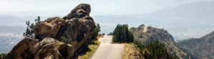
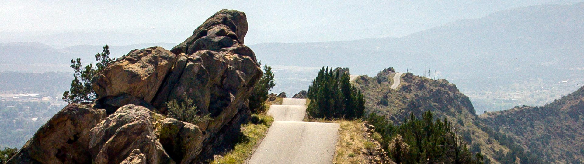
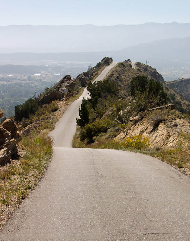
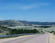
Skyline Drive
A unique driving experience with incredible views.
How to get there:
Skyline Drive is located on the west edge of Cañon City , across from the turn to the Royal Gorge.
- From I-25/C470 to US-50/Skyline Dr
- 102 miles 2 hrs
- GPS
- US-50/Skyline Dr
- 38.4721 -105.2581

In General:
- Length: 3.5 miles
- Driving Time: min. 20 mins
This route winds its way along the top of an extremely narrow ridge overlooking the surrounding area.
Photo Ops:
Many areas are marked “No Stopping” but you can still get some terrific vistas of the road. Great overlook of Cañon City.
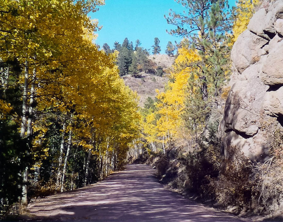
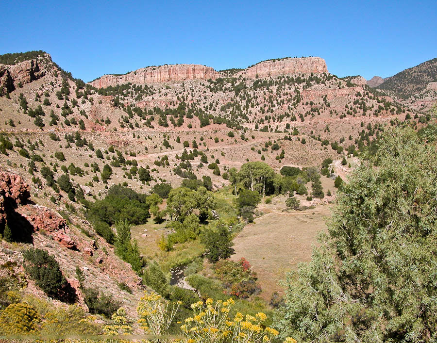
Phantom Canyon
Gold Belt Tour SB – Phantom Canyon 


How to get there:
Connecting Florence and Victor, I start the route on US 50, north of Florence.
- From I-25/C470 to US 50/Phantom Canyon
- 91 miles 1 hr 40 mins
- GPS
- US50/Ph Canyon
- 38.4374 -105.1135
Phantom Canyon Road is unpaved and narrow; vehicles over 25 feet are not permitted.
This road is one of the most scenic and historic drives in Colorado. The route increases in elevation from 5,500 to 9,500 feet and follows the route of the Florence & Cripple Creek Railroad built in 1894 as a connection from Florence to the goldfields of Cripple Creek and Victor.
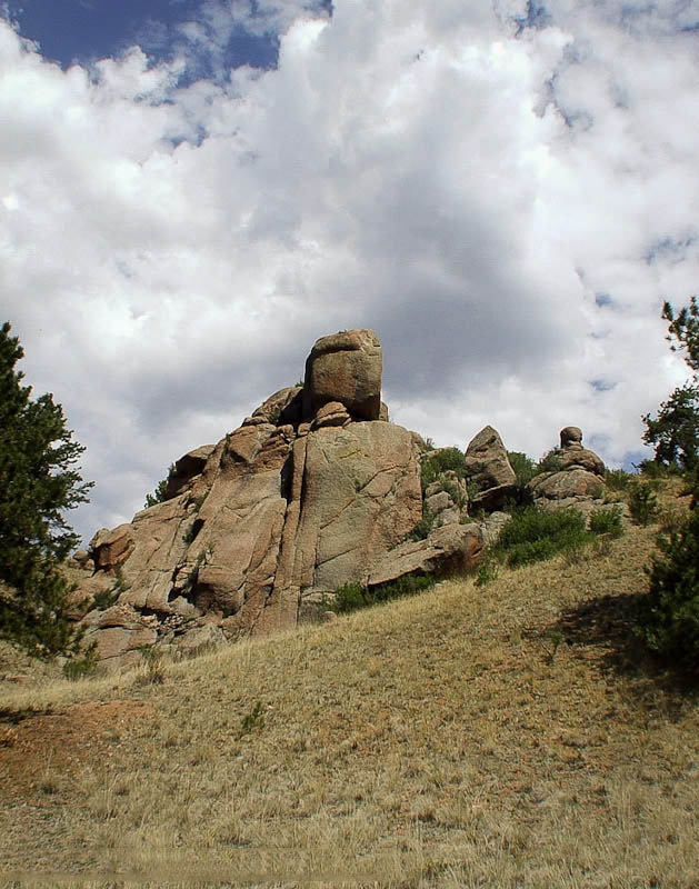
Shelf Road
Gold Belt Tour SB – Shelf Rd
How to get there:
Travels between Cañon City and Cripple Creek.
- From I-25/C470 to Cañon City
- 96 miles 1 hr 45 mins
- GPS
- US 50/Raynolds Ave
- 38.4481 -105.2069
In General:


- Length: 26 miles
- Driving Time: min. 2 hours
Shelf Road is unpaved and in places very narrow and winding with steep drop offs. Four wheel drive is recommended and may be required for travel through this area when the road is wet.
High Park Road
Gold Belt Tour SB – High Park Rd
How to get there:
Two lane paved road between Cañon City and Cripple Creek.
- From I-25/C470 to Cañon City
- 96 miles 1 hr 45 mins
- GPS
- US 50/Raynolds Ave
- 38.4481 -105.2069
In General:
- Length: 51 miles
- Driving Time: min. 1 1/2 hours
Florissant Fossil Beds
A National Monument
How to get there:
On CR 1 about 16 miles north of Cripple Creek, or 2 miles south of US 24.
- From I-25/C470 to the Monument
- 88 miles 1 hr 40 mins
- GPS
- Parking Area
- 38.9135 -105.2844