Gold Belt Tour SB – Phantom Canyon 


How to get there:
Connecting Florence and Victor, I start the route on US 50, north of Florence.
- From I-25/C470 to US 50/Phantom Canyon
- 91 miles 1 hr 40 mins
- GPS
- US50/Ph Canyon
- 38.4374 -105.1135

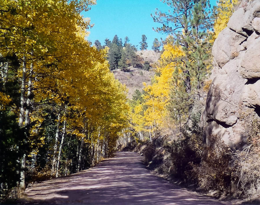
Phantom Canyon Road is unpaved and narrow; vehicles over 25 feet are not permitted.
This road is one of the most scenic and historic drives in Colorado. The route increases in elevation from 5,500 to 9,500 feet and follows the route of the Florence & Cripple Creek Railroad built in 1894 as a connection from Florence to the goldfields of Cripple Creek and Victor.
Photo Ops:


This route offers the chance to see a wide range of plants and wildlife in their natural setting. Fantastic fall foliage. The unique bridges and tunnels offer photo ops with a connection to the area’s historic past.
Beaver Creek Wilderness Study Area


About 6 mile SE of the Phantom Canyon Road to Skaguay Reservoir. A trail below the dam leads into the SWA. This rugged, remote area offers opportunities for hiking, trout fishing, hunting, camping, and wildlife viewing.
Golden Loop Historic Parkway Trails & Exhibits
Vindicator Valley Trail through 1890’s mining structures, including the Theresa and Vindicator Mines – in winter open for cross country skiing.
Battle Mountain Trail – a Millennium Trail
Begins at Stratton’s Independence Mine just outside of Victor on the Range View Road. This 1-mile trail takes you past the famous Independence Mine, a National Historic Register Site. Winding its way up a gentle grade, the trail traverses Battle Mountain below the Portland I and Ajax mines. Views of the Sangre de Cristo Mountains and Victor are spectacular.