Gold Belt Tour SB – Shelf Rd


How to get there:
Travels between Cañon City and Cripple Creek.
- From I-25/C470 to Cañon City
- 96 miles 1 hr 45 mins
- GPS
- US 50/Raynolds Ave
- 38.4481 -105.2069

In General:


- Length: 26 miles
- Driving Time: min. 2 hours
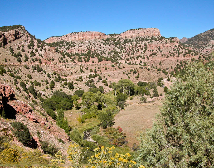
Shelf Road is unpaved and in places very narrow and winding with steep drop offs. Four wheel drive is recommended and may be required for travel through this area when the road is wet.
Juniper and pinon covered plateaus give way to sheer limestone cliffs, over 100 feet high in places, which curve and wind throughout the area. The cliffs offer some of the finest expert sport climbing anywhere.
Photo Ops:

Unusual terrain; reminds me of western Colorado. Offers a great range of photo ops. Watch for bighorn sheep along the switchbacks north of the climbing area.
Red Canyon Park

This 500 acre park contains unusual eroded red rock formations with spires up to 100 feet high. Facilities include picnic sites, restrooms and hiking trails.
Shelf Road Recreation Area
Climbers come from around the world to scale these limestone walls. The climbs are short but very difficult with few handholds and many overhangs. Several back roads near the climbing area provide opportunities for hiking and mountain biking.