Overview


Bordered on the north by I-70, on the west and south by US 24 and on the east by the Front Range region.
- I-70 west from Denver provides access to multiple day trips, including Mt Evans—Highest paved road in North America.
- US 285, heading southwest from Denver, provides access to easy day trips to five different passes—all with great vistas!
- Shrine Pass I-70 exit 190 – Vail Pass Rest Area is a hidden gem passable by most vehicles in decent conditions.
I-70 East of the Divide
Highlights:

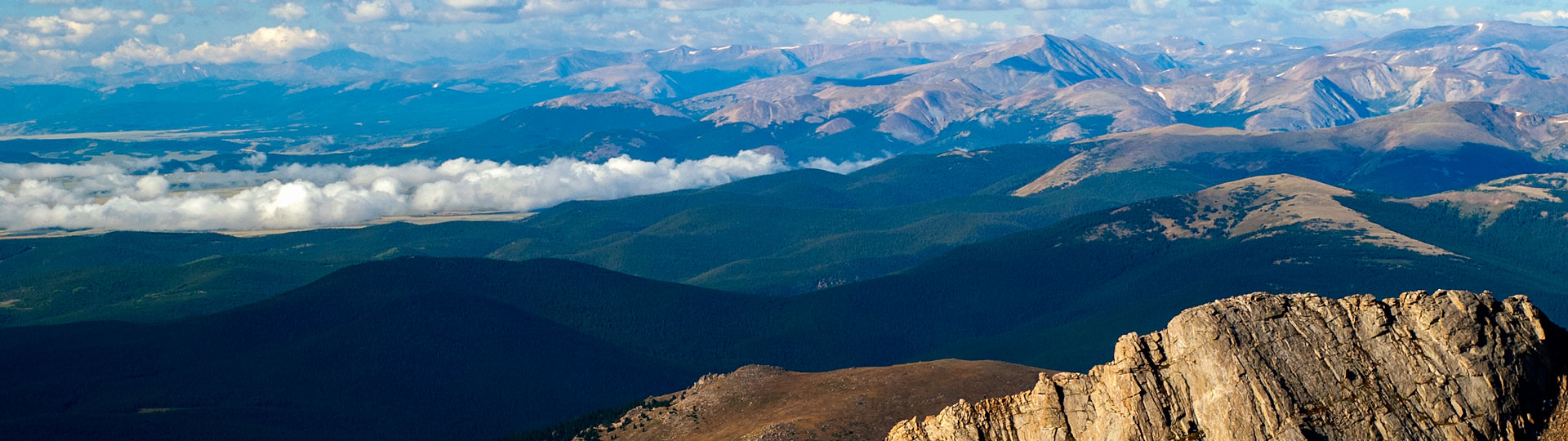
 Guanella Pass Scenic Byway
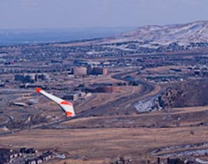
 Combat wings and hang gliders on the Lariat Loop
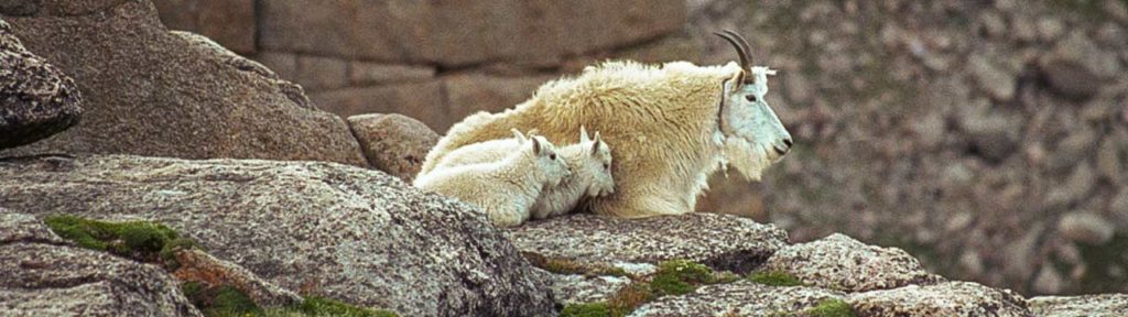
 Wildlife and bristlecone pines on Mt Evans
 Summer skiers on St Marys Glacier
 Guanella Pass
 Moon over A-Basin from east side of Loveland Pass
West of the Divide
Highlights:
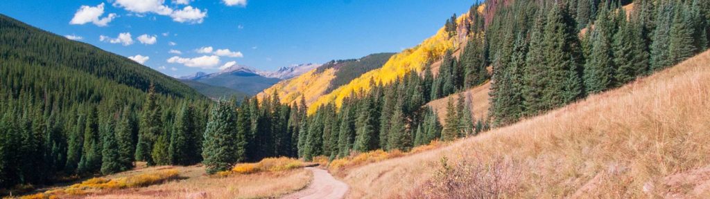
- Shrine Pass
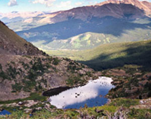
 Mohawk Lake | Shrine Pass | Mayflower Gulch | Ute Pass
 Mohawk Lake
- Especially photogenic Mohawk Lake | Ute Pass | Shrine Pass | Mayflower Gulch
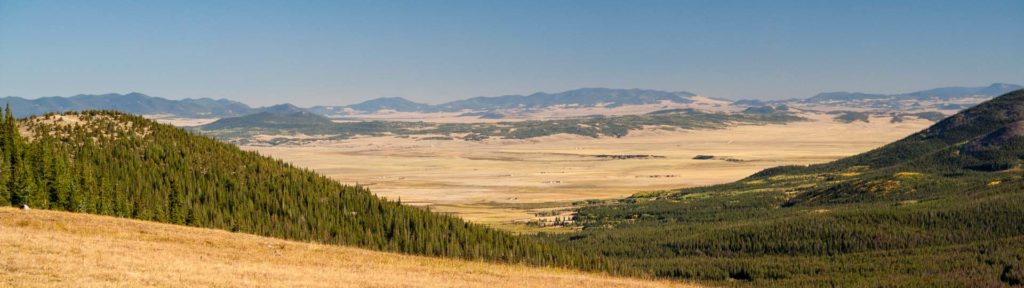
US 285 South
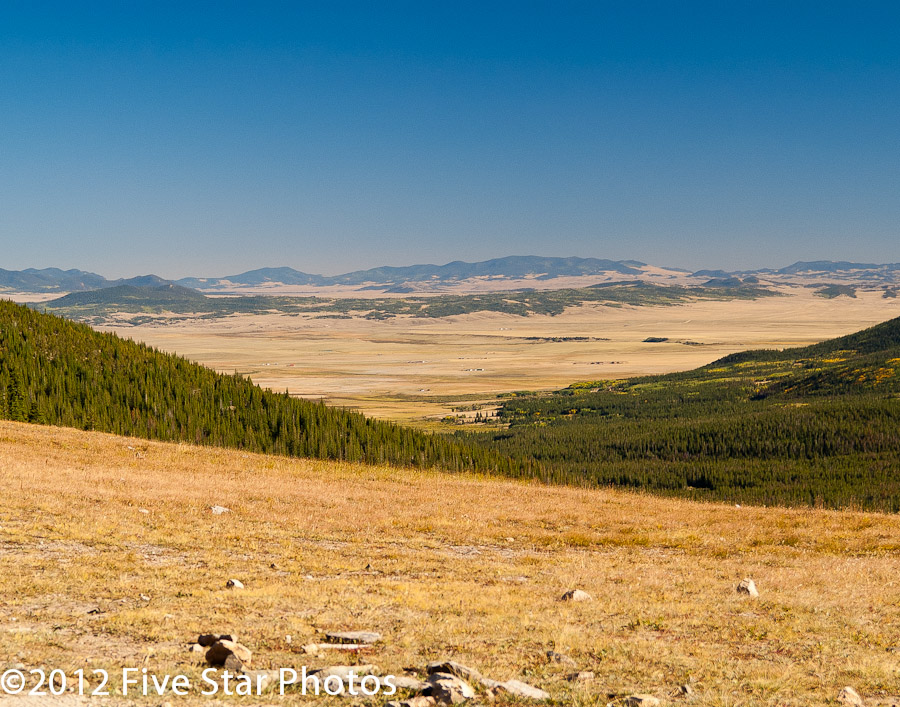
Highlights:
- Guanella Pass | Kenosha Pass | Weston Pass
 Boreas Pass
- Georgia Pass
- All of these passes have terrific vistas!