Highlights:

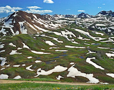
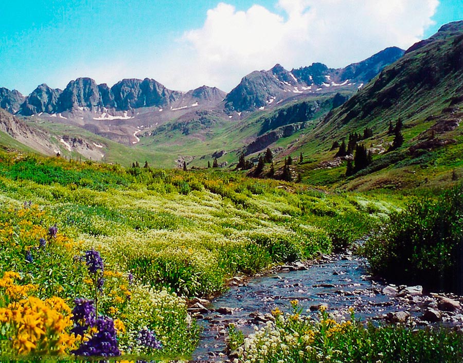
 Summer wildflowers and vistas in American Basin off the Cinnamon Pass Rd.
- Incredible vistas from Engineer Pass and Oh! Point.
- For the adventurous, scenic side roads on the way to Silverton.
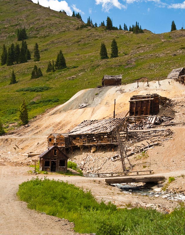
 The entire area is rich in mining history and its remnants.
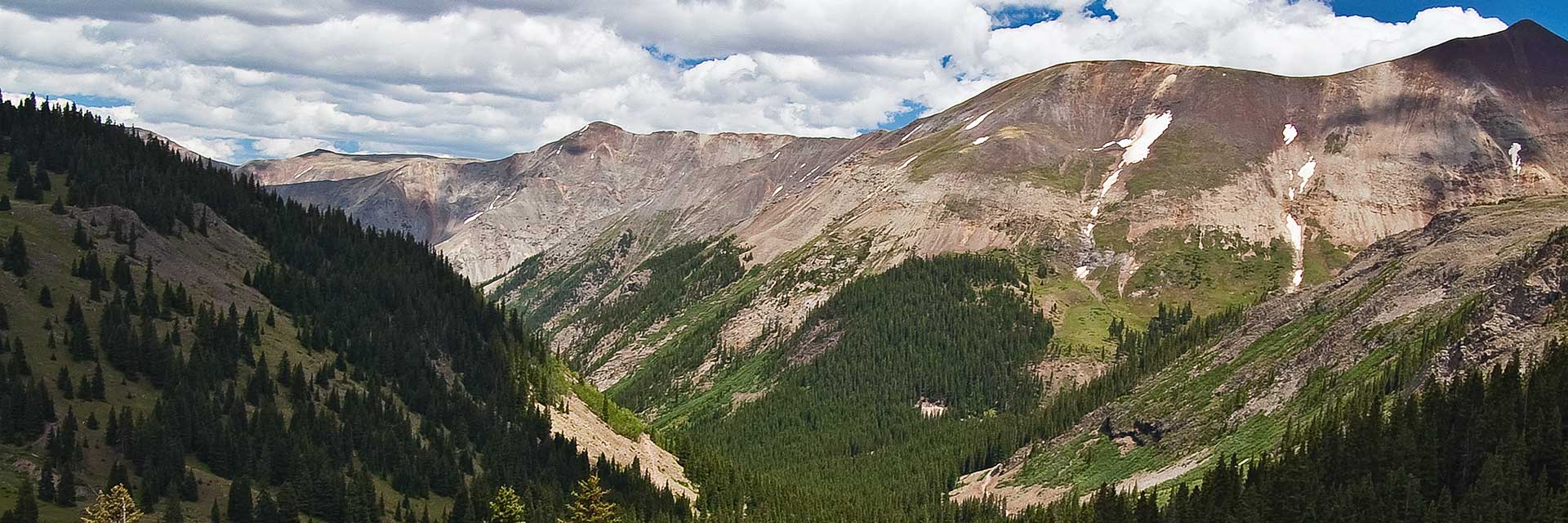
Cinnamon Pass Road
Relatively easy 4wd road. 
How to get there:
Starts on CR 30; 2.3 miles south of 2nd St in Lake City
- From US285/C470 to Lake City
- 237 miles 5 hours
- GPS
- SH 149/CR 30
- 38.0006 -107.2990

In General:


- Length: 25 miles
- Driving Time: min. 2 hours
This route is a relatively easy 4wd road; some portions are paved and large portions have a relatively smooth, wide, gravel surface. However, the moderately steep and rough approaches to the pass may challenge high clearance vehicles without lo range gearing.
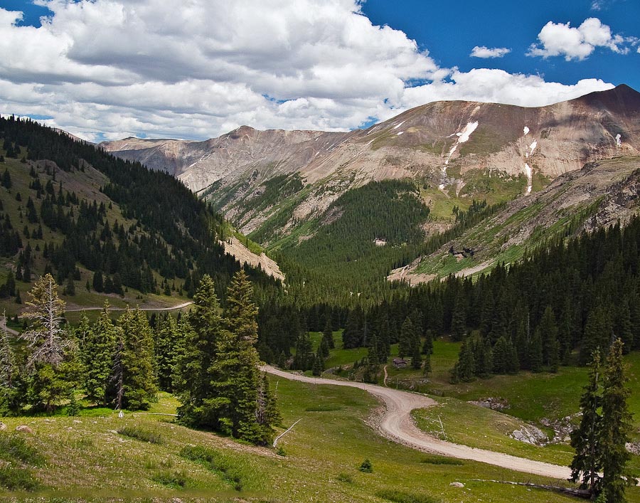
Engineer Pass Road
Relatively easy 4wd road.
How to get there:
Starts at SH 149 (Gunnison Ave) and 2nd St in Lake City.
- From US285/C470 to Lake City
- 237 miles 5 hours
- GPS
- SH 149/2nd St
- 38.0274 -107.3167
- GPS
- ATV Staging Area
- 38.0195 -107.3581
In General:
- Length: 23 miles
- Driving Time: min. 2 hours
This route is a relatively easy 4wd road; large portions have a relatively smooth, wide, gravel surface. However, the moderately steep and rough section west of the pass will challenge high clearance vehicles without lo range gearing.
Animas Forks to Silverton
Easy gravel route.
How to get there:
Starts in the ghost town of Animas Forks and ends at US550 in Silverton.
- GPS
- Intersection at mill
- 37.9319 -107.5711
In General:
- Length: 13 miles
- Driving Time: min. 40 mins
This easy gravel route is not especially scenic, but does have a lot of mining history and remnants. It does connect to some interesting side roads.