A Scenic and National Forest Byway 

How to get there:
US-285 south to the small town of Grant.
- From C470/US 285 to CR 62
- 39 miles 50 mins
- GPS
- Guanella Pass Rd
- 39.4598 -105.6632

In General: 

 Seasonal Closure
- Length: 22 miles
- Driving Time: min. 1 hour
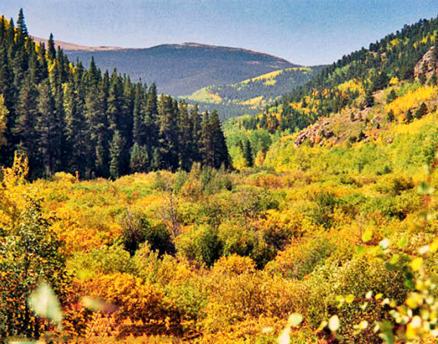
This route travels over Guanella Pass (11,700 ft) and ends at I-70 in Georgetown and is suitable for 2wd vehicles. Much of it is paved. There is a short and easy hike at the overlook that goes to the pass itself.
Photo Ops:


The lower elevations are green and wet, thick stands of spruce, fir, aspen, and pine rising along cascading creeks. Higher up, the streams snake through broad meadows with beaver ponds and wildlife photo ops. Some nice vistas on the north end looking down the canyon and a nice overlook of the city of Georgetown. Terrific fall foliage.