Wild Horses Loop

header wild horses

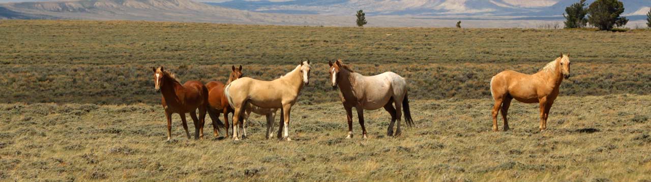
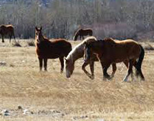
Bring binoculars, the horses aren’t easy to spot.

Wild horses near Rangely, CO.

How to get there:

From SH 64/SH 139 St in Rangely, drive east 9.1 miles and turn south on CR 122. Drive 14 miles to CR 103; turn right and continue south on CR 103 for another 11.7 miles to CR 80, Turn left and proceed 9.7 miles to CR 24X and turn left (N). Drive 5.1 miles and continue straight on CR 122 16.4 miles to return to SH 64.

  • GPS
  • SH 64/CR 122
  • 40.1599 -108.6687

In General:4wd high clearance vehicle required

  • Length: 75 miles
  • Driving Time: min. 3 hours

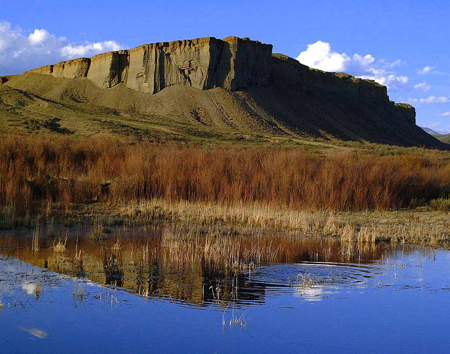
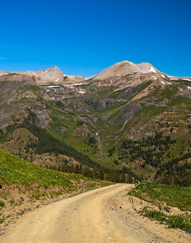
This route is entirely on maintained county roads; most of them are unpaved and in rugged
terrain. A four wheel drive, high clearance vehicle is recommended, especially on CR 103.

Read more

Jones Pass

header red-indian paintbrush 20100724-38

Great vistas and wildflowers.

A snowfield closes the road on Jones Pass, near Empire, Colorado.

How to get there:

Nine miles west of Empire, just past Berthoud Falls, turn left onto the Henderson Mine Rd and continue 1.8 miles to CR202, just before the mine entrance.

  • From I-70/C470 to CR 202
  • 38 miles 45 mins
  • GPS
  • CR 202
  • 39.7716 -105.8455

In General:ATVs Allowed - Check Regulations4wd high clearance vehicle requiredCampgroundHiking Seasonal Closure

  • Length: 4 miles
  • Driving Time: min. 30 mins

The easy, slightly rough 4wd road travels above the Henderson Mine to the summit of Jones Pass (12,453 ft).

Read more

Corona Pass

Corona Pass 20100918-15

Also known as Rollins Pass West

The Riflesight Notch railroad trestle on Corona Pass near Winter Park, Colorado.

How to get there:

The Corona Pass Rd begins on the north side of US40, just west of the Winter Park ski resort.

  • From I-70/C470 to CR 80
  • 54 miles 1 hr
  • GPS
  • US 40/CR 80
  • 39.8976
  • -105.7695

In General:ATVs Allowed - Check Regulations4wd high clearance vehicle requiredFishing Available Seasonal Closure

  • Length: 14 miles
  • Driving Time: min. 1 hour

In good conditions, this road is passable by most 2wd passenger vehicles. For the most part, it follows the grade of the former Denver, Northwestern and Pacific Railway to the site of a small rail stop called Corona at the top of the pass.

The Boulder Wagon Rd is significantly more difficult than the Corona Pass Rd and will likely challenge 4wd, high clearance vehicles without lo range.

Read more

Colorado River Headwaters Scenic Byway

CO River Headwaters Grand Lake

From Grand Lake to Kremmling to State Bridge.America's BywayScenic Byway

The Kremmling Cliffs from the Colorado River Headwaters Scenic Byway.
Kremmling Cliffs by Jean Landess

How to get there:

The Byway is reached at the intersection of US 40/US 34 in the town of Granby.

  • From I-70/C470 to Granby
  • 74 miles 1 hr 30 mins
  • GPS
  • Parking Area
  • 40.0906 -105.9586

In General:CampgroundFishing AvailableKayaking/River Rafting

  • Length: 68 miles
  • Driving Time: min. 1 hr 30 mins

From Grand Lake in the north, the Byway follows US 34 to Granby, then US 40 through Hot Sulphur Springs and Parshall to Kremmling. At Kremmling, it follows SH 9 south to the unpaved portion of the route, CR 1, the Trough Rd, and ends at the intersection with SH 131 in State Bridge. The Trough Rd is well maintained and, in good conditions, passable by 2wd passenger vehicles.

Read more

Cinnamon Pass Road

Relatively easy 4wd road. Scenic Byway

Wildflowers in American Basin along the Cinnamon Pass Rd, Colorado.
American Basin – by Sally Pearce

How to get there:

Starts on CR 30; 2.3 miles south of 2nd St in Lake City

  • From US285/C470 to Lake City
  • 237 miles 5 hours
  • GPS
  • SH 149/CR 30
  • 38.0006 -107.2990

In General:ATVs Allowed - Check RegulationsHigh Clearance Required4wd vehicle with low range requiredCampgroundFishing Available

  • Length: 25 miles
  • Driving Time: min. 2 hours

This route is a relatively easy 4wd road; some portions are paved and large portions have a relatively smooth, wide, gravel surface. However, the moderately steep and rough approaches to the pass may challenge high clearance vehicles without lo range gearing.

Read more

Engineer Pass Road

Relatively easy 4wd road. Scenic Byway

Looking east down the Hensen Creek valley from the Engineer Pass Rd on the Alpine Loop Scenic Byway, Colorado.
Looking down the Hensen Creek valley

How to get there:

Starts at SH 149 (Gunnison Ave) and 2nd St in Lake City.

  • From US285/C470 to Lake City
  • 237 miles 5 hours
  • GPS
  • SH 149/2nd St
  • 38.0274 -107.3167
  • GPS
  • ATV Staging Area
  • 38.0195 -107.3581

In General:ATVs Allowed - Check RegulationsHigh Clearance Required4wd vehicle with low range requiredCampgroundFishing Available

  • Length: 23 miles
  • Driving Time: min. 2 hours

This route is a relatively easy 4wd road; large portions have a relatively smooth, wide, gravel surface. However, the moderately steep and rough section west of the pass will challenge high clearance vehicles without lo range gearing.

Read more

Owl Creek Pass

Connects with US 50.

Wildflowers and Turret Ridge along Owl Creek Pass Road near Ridgway, Colorado.
Wildflowers and Turret Ridge

How to get there:

From US550/6th St in Ouray, drive north 12 miles to CR10 and turn east. (1.8 miles past SH62 in Ridgway)

  • From Ouray to CR10
  • 12 miles 15 mins
  • GPS
  • US-550/CR 10
  • 38.1740 -107.7421

In General: ATVs Allowed - Check RegulationsHigh Clearance RequiredCampgroundFishing Available Seasonal Closure

  • Length: 41 miles
  • Driving Time: min. 2 hrs 20 mins

In good conditions, this easy dirt and gravel road can be driven by most passenger vehicles. It will take you up and through the Uncompahgre NF, crest Owl Creek Pass at 10,114 ft, pass Silver Jack Reservoir, and end at US-50 2.5 miles east of Cimarron.

Read more

Dallas Divide

Beautiful in every season. America's BywayScenic BywayNational Forest Byway

Mt Sneffels from the Dallas Divide, San Juan Skyway, Colorado.

How to get there:

Drive north from Ouray to Ridgway then west on SH 62 about 10 miles. The highway has been reconfigured; the parking area is now east of the GPS location below.

  • From Ouray
  • 21 miles 30 mins
  • GPS
  • Photo Op
  • 38.0956 -107.8793

In General:

Overlook of Mt Sneffels and its range.

Read more

Yankee Boy Basin

Access to the Imogene Pass Road.

The twin waterfalls and wildflowers of Yankee Boy Basin near Ouray,Colorado.
Twin Waterfalls in Yankee Boy Basin

How to get there:

Head south out of Ouray. Near the end of the first switchback, turn right towards Camp Bird Mine and the falls. Drive past the falls entrance and follow the road towards the mine.

  • From US-550/6th St to the turn
  • 0.6 miles 1 min
  • GPS
  • Camp Bird Mine Rd
  • 38.0177 -107.6745

In General:4wd high clearance vehicle requiredCampgroundrock climbing

  • Length: 9.6 miles
  • Driving Time: min. 45 mins

The road to Camp Bird Mine is well maintained gravel. Here, the route becomes CR 26 and begins to take on the character of a 4wd road as it climbs up into the canyon, becoming progressively steeper and rougher. The upper reaches may challenge vehicles without lo range gearing.

Read more

Brooklyn Road

Overlooks the Million Dollar Highway!

A mountain vista from the Brooklyn Road near Ouray, Colorado.

How to get there:

Starts at the top of Red Mountain Pass turning east off of US-550 just beyond the Red Mountain Pass sign.

  • From Ouray to CR14
  • 13 miles 20 mins
  • GPS
  • Parking Area
  • 37.8959 -107.7138

In General:4wd high clearance vehicle required

  • Length: 6 miles
  • Driving Time: min. 40 mins

This easy route (CAUTION: If there has been heavy rain it can be pretty mucky!) leads you past the St. Paul Lodge for back-country skiers and along a winding ledge on the west side of the mountain range. You will pass areas with mining remnants, the largest of which is the site of the Brooklyn Mine.

Read more