From Yampa to Meeker 

How to get there:
From US 40/3rd St in Steamboat, south about 4 miles to SH 131, then south to CR 17 in Yampa.
- From 3rd St to CR 17
- 30 miles 40 mins
- GPS
- CR 17 in Yampa
- 40.1577 -106.9086

From I-70/C470 via US 40 — 144 miles 2 hr 50 mins
In General:


 Seasonal Closure
- Length: 83 miles
- Driving Time: min. 2 hrs 30 mins
The eastern half of the byway is a well maintained, gravel road and, in good conditions, is passable by most 2wd passenger vehicles. The western half, into Meeker, is paved. Open to snowmobiles in winter.
Photo Ops:


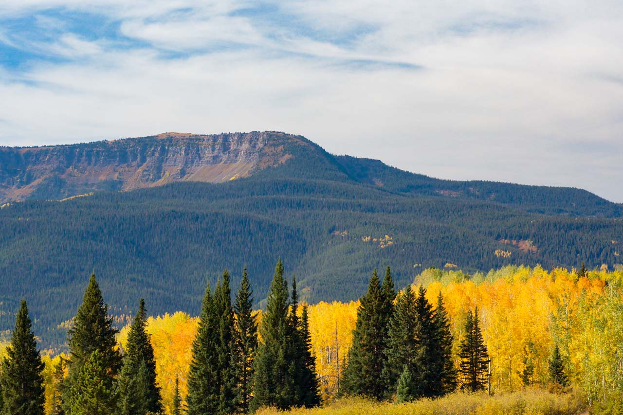
The entire region has fabulous fall foliage, abundant summer wildflowers and wildlife. I recommend exploring some of the side roads (at your own risk) leading to canyons, river bottoms, campgrounds and hiking trails to discover your own unique photo opportunities.
Mile 4.4 – CR17/CR15 to Crosho Lake CG
10 undeveloped campsites near Crosho Lake. Fishing in the lake; hiking on nearby trails.
Mile 12.2 – FR940 to Chapman Reservoir CG
This campground offers vault toilets and 12 campsites with picnic tables and fire grates. The campground sits adjacent to Chapman Reservoir with a beautiful view of the reservoir and the Little Flat Tops.
Mile 14.2 – FR959 to Sheriff Reservoir CG
This small, forested campground has 6 campsites set among the trees with picnic tables and fire grates. The campground is just above beautiful Sheriff Reservoir. With a fantastic view of Sand Point and the Little Flat Tops, this area offers fabulous lake and stream fishing. There is a hiking trailhead close by with trails accessing the Flat Tops Wilderness.
Mile 19.2 – Dunckley Pass
This is a great place to stop just off the Scenic Byway. A vault toilet is the only services available.
Mile 36.6 – Ripple Creek Pass
Many dispersed camping sites are available along the Byway, however, dispersed camping is prohibited within 1/4 mile of the Ripple Creek Overlook interpretive site.
Mile 38.0 – Ripple Creek Overlook
Ripple Creek Overlook Interpretive Site provides a nice rest stop along the Flat Tops Trail Scenic Byway. The site provides picnic facilities and restrooms. Camping is prohibited within 1/4 mile of the Overlook.
Mile 42.8 – CR8/Trappers Lake Rd 
Be sure to go to beautiful Trappers Lake, called the “cradle of the wilderness” for its part as one of the main inspirations for the Wilderness Act. There are 6 campgrounds, including Horse Thief which has corrals for livestock and long spurs to accommodate large trailers.
Mile 61.2 – CR17 to CR10 to South Fork CG
The South Fork Campground has 18 campsites. It provides good access to fishing in the South Fork of the White River, and hiking & horseback riding in the Flat Tops Wilderness. Spring Cave and South Fork Trails leave from the campground.
Spring Cave Trail
- Length: 1.2 miles RT
- Elev gain: 400 ft
- Rating: Moderate
- Hiking Time: min. 40 mins
The trail ends at the mouth of Spring Creek Cave. NOTICE – Spring Cave may be visited April 16 through August 14, by persons who have registered and observed decontamination procedures. It is closed August 15 – April 15.