Skyline Drive

skyline drive canon city 105090210

A unique driving experience with incredible views. How to get there: Skyline Drive is located on the west edge of Cañon City , across from the turn to the Royal Gorge. From I-25/C470 to US-50/Skyline Dr 102 miles 2 hrs GPS US-50/Skyline Dr 38.4721 -105.2581 In General: Length: 3.5 miles Driving Time: min. 20 mins This route winds its … Read more

Phantom Canyon

Gold Belt Tour SB – Phantom Canyon America's BywayScenic BywayNational Forest Byway

Phantom Canyon Road near Cañon City

How to get there:

Connecting Florence and Victor, I start the route on US 50, north of Florence.

  • From I-25/C470 to US 50/Phantom Canyon
  • 91 miles 1 hr 40 mins
  • GPS
  • US50/Ph Canyon
  • 38.4374 -105.1135

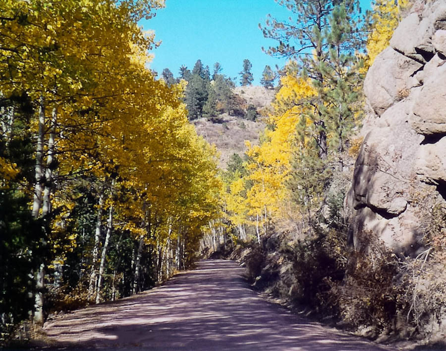
Phantom Canyon Road is unpaved and narrow; vehicles over 25 feet are not permitted.

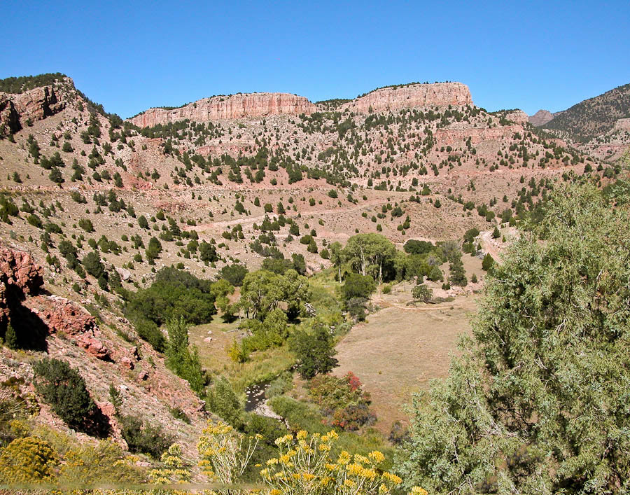
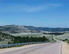
This road is one of the most scenic and historic drives in Colorado. The route increases in elevation from 5,500 to 9,500 feet and follows the route of the Florence & Cripple Creek Railroad built in 1894 as a connection from Florence to the goldfields of Cripple Creek and Victor.

Read more

Shelf Road

Gold Belt Tour SB – Shelf RdAmerica's BywayScenic BywayNational Forest Byway

Shelf Road on the Gold Belt Tour Scenic Byway

How to get there:

Travels between Cañon City and Cripple Creek.

  • From I-25/C470 to Cañon City
  • 96 miles 1 hr 45 mins
  • GPS
  • US 50/Raynolds Ave
  • 38.4481 -105.2069

In General:High Clearance Requiredrock climbingCampgroundHiking

  • Length: 26 miles
  • Driving Time: min. 2 hours

Shelf Road is unpaved and in places very narrow and winding with steep drop offs. Four wheel drive is recommended and may be required for travel through this area when the road is wet.

Read more

High Park Road

Gold Belt Tour SB – High Park Rd America's BywayScenic BywayNational Forest Byway

Vista along the High Park Road near Cañon City

How to get there:

Two lane paved road between Cañon City and Cripple Creek.

  • From I-25/C470 to Cañon City
  • 96 miles 1 hr 45 mins
  • GPS
  • US 50/Raynolds Ave
  • 38.4481 -105.2069

In General:

  • Length: 51 miles
  • Driving Time: min. 1 1/2 hours

Read more

Florissant Fossil Beds

A National MonumentNational Park

Twin Rocks formation at Florrisant Ntl. Mon.
Twin Rock by Gregory Kats

How to get there:

On CR 1 about 16 miles north of Cripple Creek, or 2 miles south of US 24.

  • From I-25/C470 to the Monument
  • 88 miles 1 hr 40 mins
  • GPS
  • Parking Area
  • 38.9135 -105.2844

In General:

Individual Entrance Fee: $10 (Good for 7 Days)

Read more