From Endovalley to the Alpine Visitor Center
How to get there:
Old Fall River Rd begins at the end of the pavement and the seasonal closure gate near Endovalley Picnic Area, 4.0 miles from the Fall River Entrance Station.
- From I-25/I-70 to Fall River Ent
- 66 miles 1 hr 30 mins
- GPS
- Seasonal gate
- 40.4145 -105.6550

In General: Seasonal Closure
Nearly 100 years old and never more than 14 feet wide, this road stretches for 9 mi, from the park’s east side to the Fall River Pass on the west. The road is generally open from July through mid-October.
The road is steep, serpentine, completely lacking in guard rails and provides spectacular views.
Photo Ops:


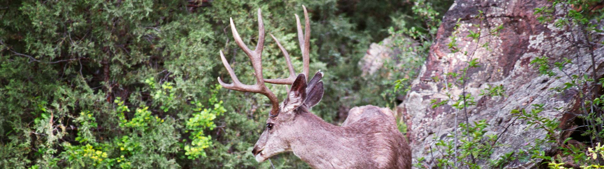
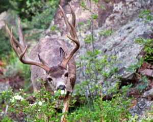
The Fall River valley provides excellent wildlife habitat. Large herds of elk reside in the area.
Mile 1.3 – Chasm Falls 
It’s a short walk down a moderately steep hill to a viewing area for the falls. The falls drop 25 feet onto granite rocks and are among the prettiest in Rocky Mountain Ntl. Park. There are good spots for photo-ops from the bottom of the falls to the top.
Mile 6.6 – Chapin Creek TH 
- Length: 3.6 miles RT
- Elev gain: 1490 ft
- Rating: 6.7 Moderate
- Hiking Time: min. 2 hours
As the trail enters the tundra northwest of Mount Chapin, the trail becomes an unimproved route. It splits into several paths, each of which cross tundra and rock slopes as they lead east toward the saddle between Mount Chapin and Mount Chiquita. Near the saddle, an unmarked path leads southeast up a steep slope to Chapin’s summit.