Gorgeous scenery!
I-70W Exit 171. Continues to SH-82 south of Leadville.
- From I-70/C470 to Exit 171
- 93 miles 1 hr 40 mins
- GPS
- Ramp/US24
- 39.6096 -106.0507

In General:


- Length: 50 miles
- Driving Time: min. 1 hour
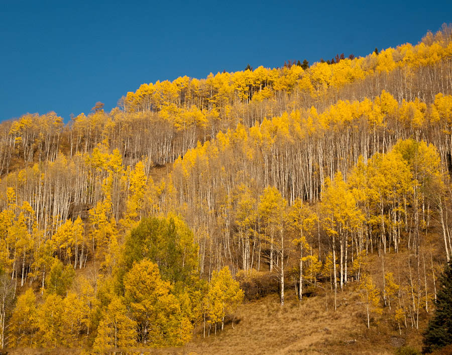
This paved route winds its way to an elevation of 10,424 ft, crossing Tennesee Pass with altitudes rarely falling below 9,000 ft. The rugged scenery includes mountain vistas, abundant summer wildflowers and impressive fall colors.
Photo Ops: 
This highway is nothing but scenic! Some notable spots:
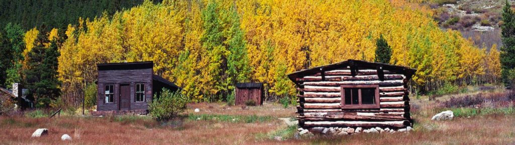
Red Cliff


Red Cliff is a small community filled with galleries, music, theatre, and shops. Red Cliff Bridge spans the canyon 200 ft over the Eagle River. Reach the river from Water St.
Tennessee Pass
Most of the area is above tree line, providing a panoramic view of the peaks of the Sawatch Range. The area was formerly a World War II training ground for United States Army troops of the 10th Mountain Division from nearby Camp Hale. A memorial to troops of the division is located at the summit of the pass.
Leadville

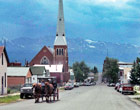
The Leadville Historic District is a National Historic Landmark District. It includes the mining district east of the city up to the 12,000 ft level, and a portion of the village area including the Tabor Opera House, City Hall, Silver Dollar Saloon, Pastime Bar, the American National Bank Building, and the Delaware Inn, which is on the National Register of Historic Places.
The Mosquito Pass (13,198 ft) 4wd route![]()
![]() starts at US24 (Harrison Ave) and 7th St and continues east through the mining district to SH9 in Alma. Drive as far towards the pass as you are comfortable. The east side of the pass is a true 4wd with low-range required route.
starts at US24 (Harrison Ave) and 7th St and continues east through the mining district to SH9 in Alma. Drive as far towards the pass as you are comfortable. The east side of the pass is a true 4wd with low-range required route.
The Hagerman Pass (11,981 ft) 4wd route![]() starts at Turquoise Lake just outside of Leadville. Drive along the southern edge of the lake until you come to a “Y” where the pavement goes right. The trail starts on the easy dirt road to the left. Most passenger vehicles can make it to the Carlton Tunnel, a very scenic area.
starts at Turquoise Lake just outside of Leadville. Drive along the southern edge of the lake until you come to a “Y” where the pavement goes right. The trail starts on the easy dirt road to the left. Most passenger vehicles can make it to the Carlton Tunnel, a very scenic area.