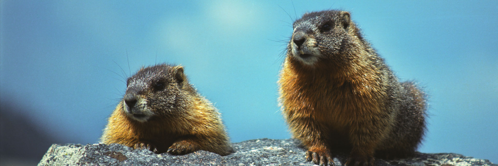
Access to numerous destinations.
How to get there:
The TH is located on Bear Lake Rd, about 8 miles from US-36.
- From I-70/I-25 to Bear Lake Rd
- 65 miles
- 1 hr 30 mins
- GPS
- TH Parking
- 40.3109
- -105.6398

In General:
The trailhead is also a shuttle bus stop and is subject to Bear Lake Rd private vehicle restrictions. Consider the Park & Ride lot 5 miles from US36 and riding the free shuttles or arrive early.
RMNP HomeFee InfoRoad StatusFree Shuttles
Photo Ops:


This trailhead provides access to numerous destinations, loops and backcountry campsites; these are a few highlights.
Alberta Falls 
- Length: 1.4 miles RT
- Elev gain: 200 ft
- Rating: 1.8 Easy
- Hiking Time: min. 45 mins
The hike from Glacier Gorge Junction to Alberta Falls is probably the most popular trail in Rocky Mountain National Park. Short and easy, and one of the most scenic hikes in the park.
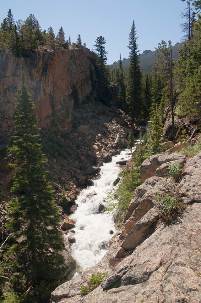
Head south from the trailhead and at about 0.3 miles, the trail intersects with the trail to Sprague Lake, and slightly further, the trail coming down from Bear Lake. At the intersection with the Bear Lake Trail, turn to the left. The trail passes through several aspen groves, then into pine forest. At about 0.5 miles, it opens up onto a ledge of rock offering a spectacular overlook of Glacier Gorge. From there, the trail parallels Glacier Creek until Alberta Falls suddenly comes into view, roaring through a granite chute. The trail continues on to some of the most beautiful lakes in the park: The Loch (Loch Vale), Mills Lake, Lake Haiyaha and Black Lake.
Mills Lake Trail
- Length: 5 miles RT
- Elev gain: 775 ft
- Rating: 6.4 Moderate
- Hiking Time: min. 2 hrs 30 mins
The initial part of the trail is the route to Alberta Falls. After leaving the falls, the trail climbs a hillside above Glacier Creek to intersect with the North Longs Peak Trail at about 1.9 miles, crosses a short rocky stretch to reach the Lake Haiyaha Jct followed by the trail to The Loch at mile 2. Bear left (south). The trail crosses a bridge over Icy Brook and climbs several switchbacks as you approach timberline. The trail levels off as you approach Mills Lake near the Glacier Creek outlet at mile 2.5. This area, where the creek flows through the granite boulders and outcroppings, makes a worthy photo op. A short walk brings you to the northeast edge of Mills Lake and some of the most magnificent vistas in the Park.
The Loch
- Length: 5.4 miles RT
- Elev gain: 1000 ft
- Rating: 7.4 Moderate
- Hiking Time: min. 2 hour 30 mins
The initial part of the trail is the route to Alberta Falls. After leaving the falls, the trail climbs a hillside above Glacier Creek to intersect with the North Longs Peak Trail at about 1.9 miles, crosses a short rocky stretch to reach the junction with the Lake Haiyaha, followed by the trail to The Loch, at mile 2. Proceed straight. The trail travels alongside and above Icy Brook on a series of switchbacks to arrive at The Loch at mile 2.7. Taylor Peak and Powell Peak tower above and Andrews Glacier is visible from most vantage points.