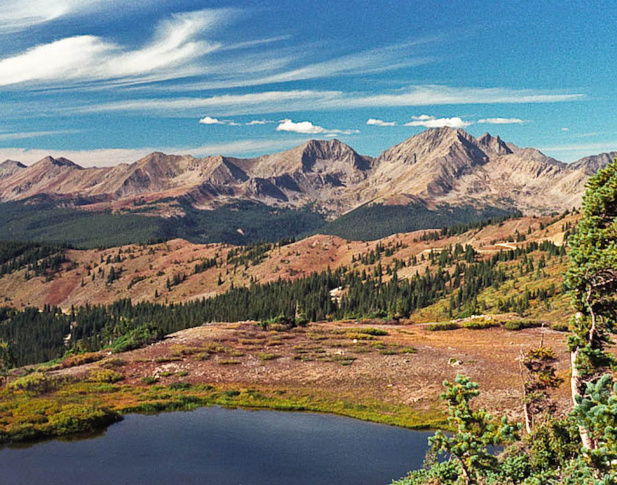
CR 306/CR 209 is now paved all the way to Taylor Park!

In General:
Seasonal Closure
- Length: 33 miles
- Driving Time: min. 1 hour 20 mins
CR 306 is paved all the way to Cottonwood Pass (elev 12126′) then changes to CR 209.
This route starts out relatively level and open and enters some lush meadows paralleling Texas Creek. The road “ends” in the vicinity of the Texas Lakes, passing numerous primitive camping sites along the way. Beyond this point it becomes a true 4wd with low range required.
This route,in good conditions, is easily travelled in all passenger vehicles. The last portion is paved and connects to CR740 near the southern end of the Taylor Canyon route.
Starts out easy, then… How to get there: From Taylor Park CR740/CCR209 drive 9.5 miles north. From C470/US 285 to Taylor Park 137 miles 3 hr 30 mins GPS CR 740/CR 759 38.9541 -106.6213 In General: Length: 7 miles Driving Time: min. 40 mins This route starts out relatively level and open in lush meadows paralleling Italian Creek, passing … Read more
The route passes the Taylor Reservoir, a marina, a stretch of Gold Medal trout water, eight National Forest campgrounds, cliffs suitable for climbing, rafting opportunites—it has it all!
Cumberland Pass is one of Colorado’s most scenic and historic passes. The road is passable by most passenger vehicles and is open to ATV’s.